Viewing entries tagged
California

Comment

Visiting Ventura California

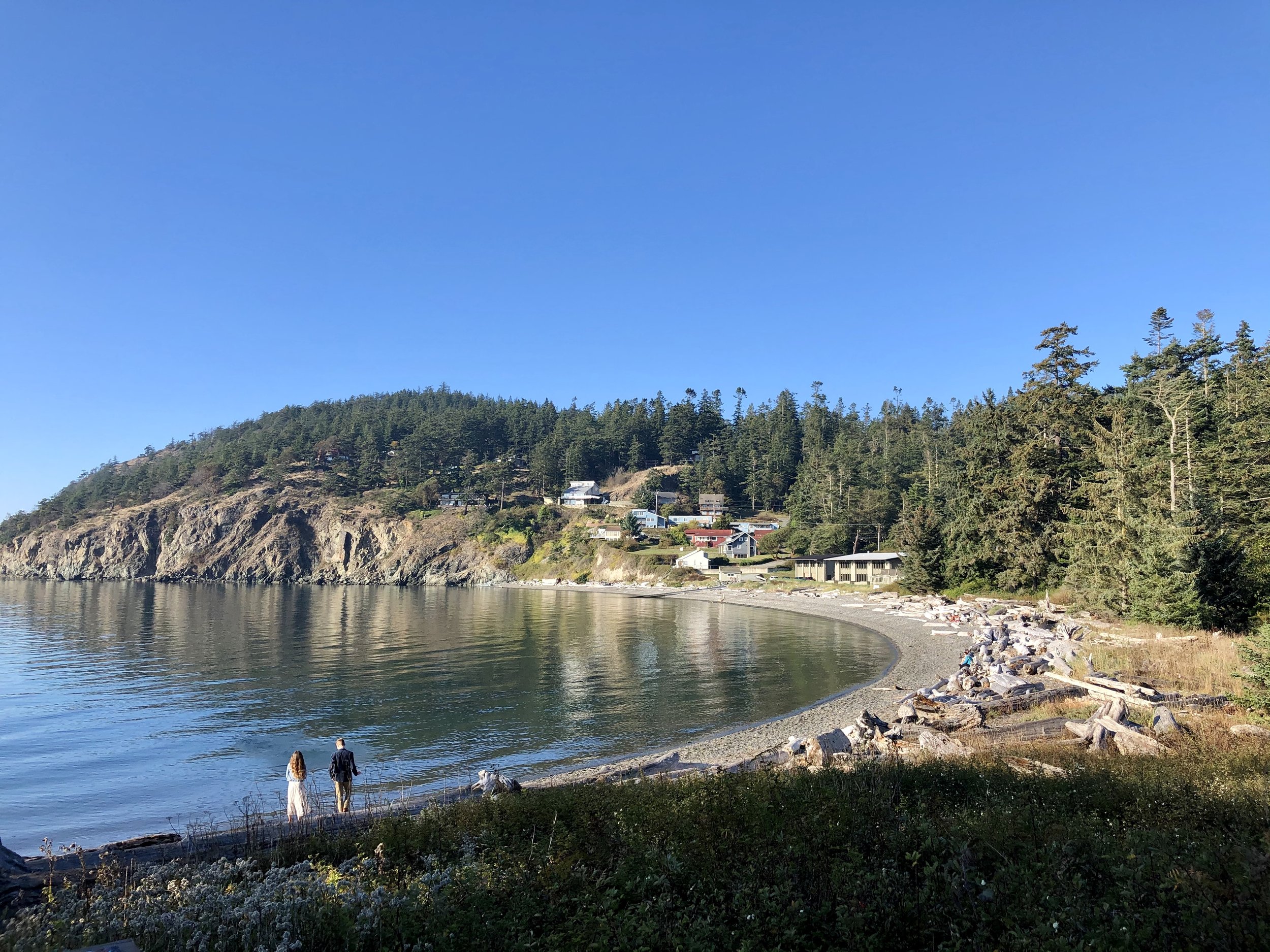
I had the pleasure of visiting Ventura in November 2021. My good friend Dylan and his family live there and he invited me to check out his hometown since I had shown him where I live just two months prior. I have driven through Ventura many times when I lived in California, but I never actually stopped and explored this historic coastal city located just 30 minutes south of Santa Barbara and an hour or so north of Los Angeles. Turns out Ventura is Southern California’s whispered secret, a real deal surf town with empty beaches that call to surfers, swimmers, kayakers, and beach-lovers who just want to relax.

There is a lot of history in Ventura as well, starting with the Chumash, a Native American people who have deep roots in central and southern coastal regions of California. Archaeological records found that the Chumash village they encountered, known as Shisholop Village, was settled sometime around A.D. 1000. Then came the Spanish Era, in which Junípero Serra, first leader of the Franciscans in California, founded Mission San Buenaventura in 1782 as his ninth and last mission as part of Spain's colonization of Alta California. Ventura is officially named San Buenaventura due to this colonization and many historic elements and architectural design from this era are still visible throughout the city.

I flew into Santa Barbara airport on the evening of November 12th and Dylan was gracious enough to pick me up. I was craving In-N-Out Burger as we don’t have this delicious burger chain in Washington yet. Then we headed to his place where I finally met his sister Sage whom I’ve heard so much about and her boyfriend Ardi. We enjoyed a long soak in their hot tub until bedtime. The next morning Dylan took me to the Ventura Pier, formerly known as the Ventura Wharf and the San Buenaventura Wharf. This historic wooden pier is the oldest pier in the state originally built in 1872. A $3.2-million renovation in 1993 has restored its original grandeur and then some. It now features interpretive display panels, a snack bar, benches, restrooms, a full-service seafood restaurant with a gift shop and spectacular views of the Channel Islands, coastline and mountains. We also took a walk on the beach where I dipped my feet in the Pacific Ocean, which felt amazing warm considering it was the middle of November and the temperature was 84*F that day!

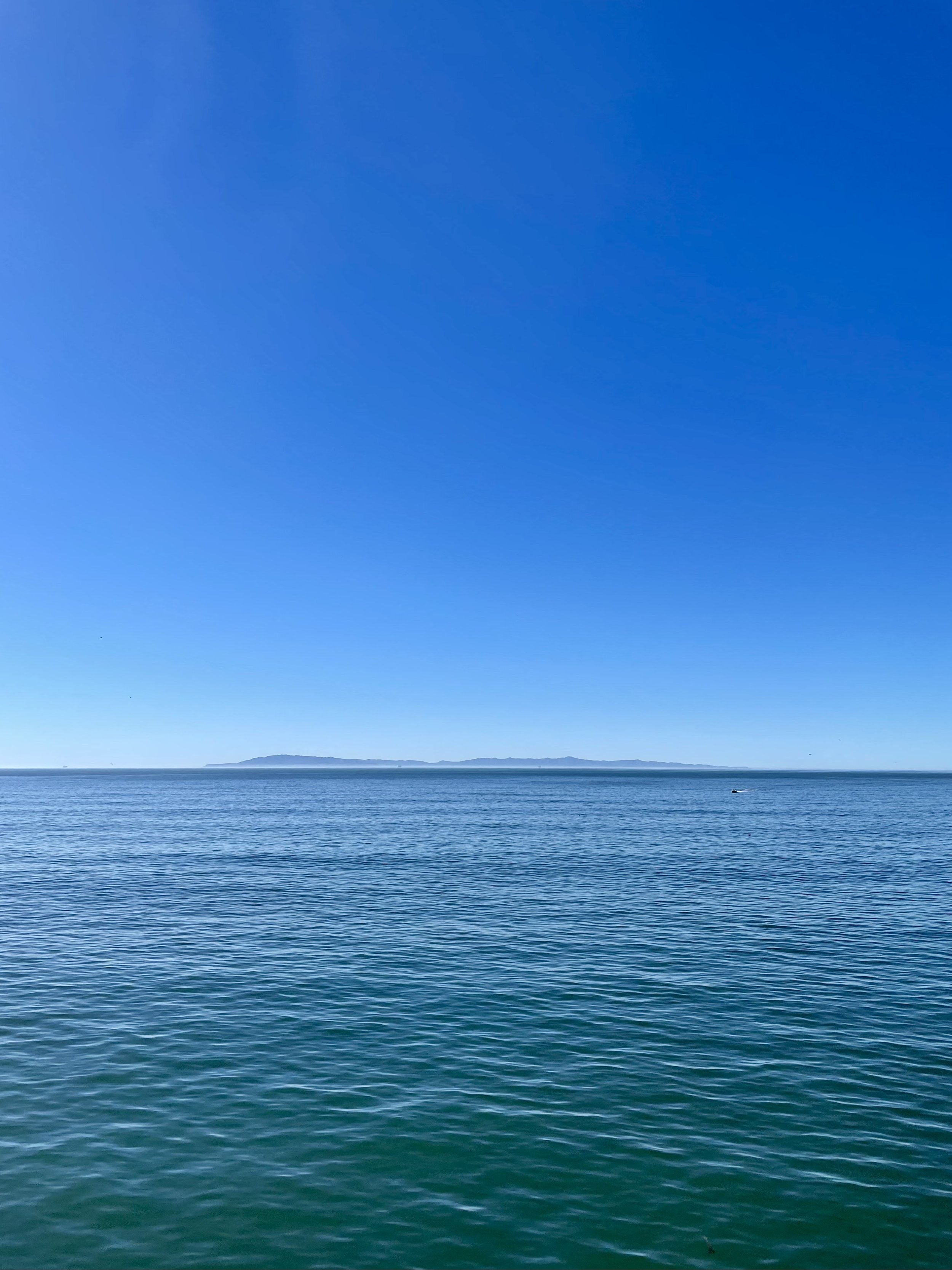
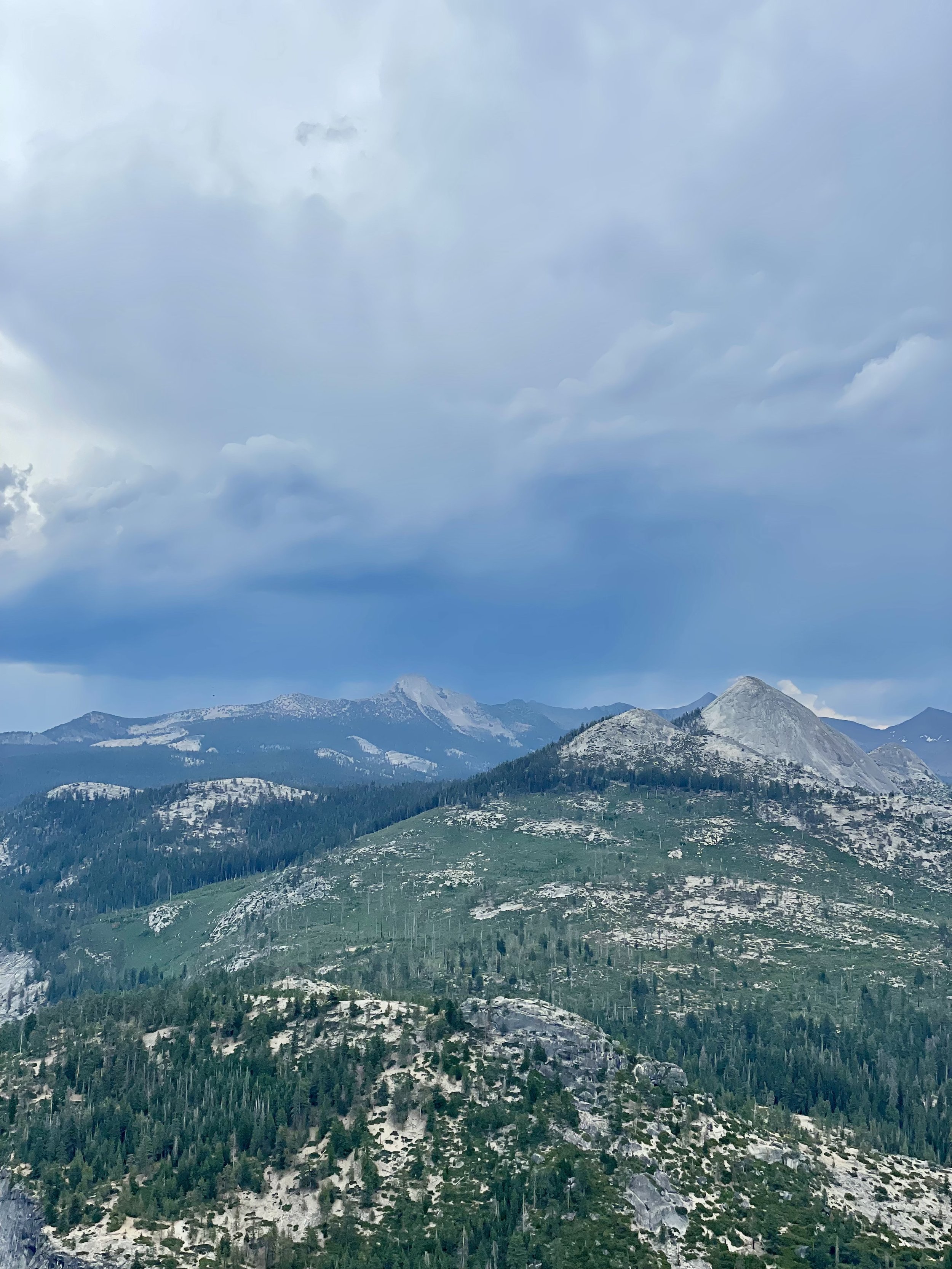
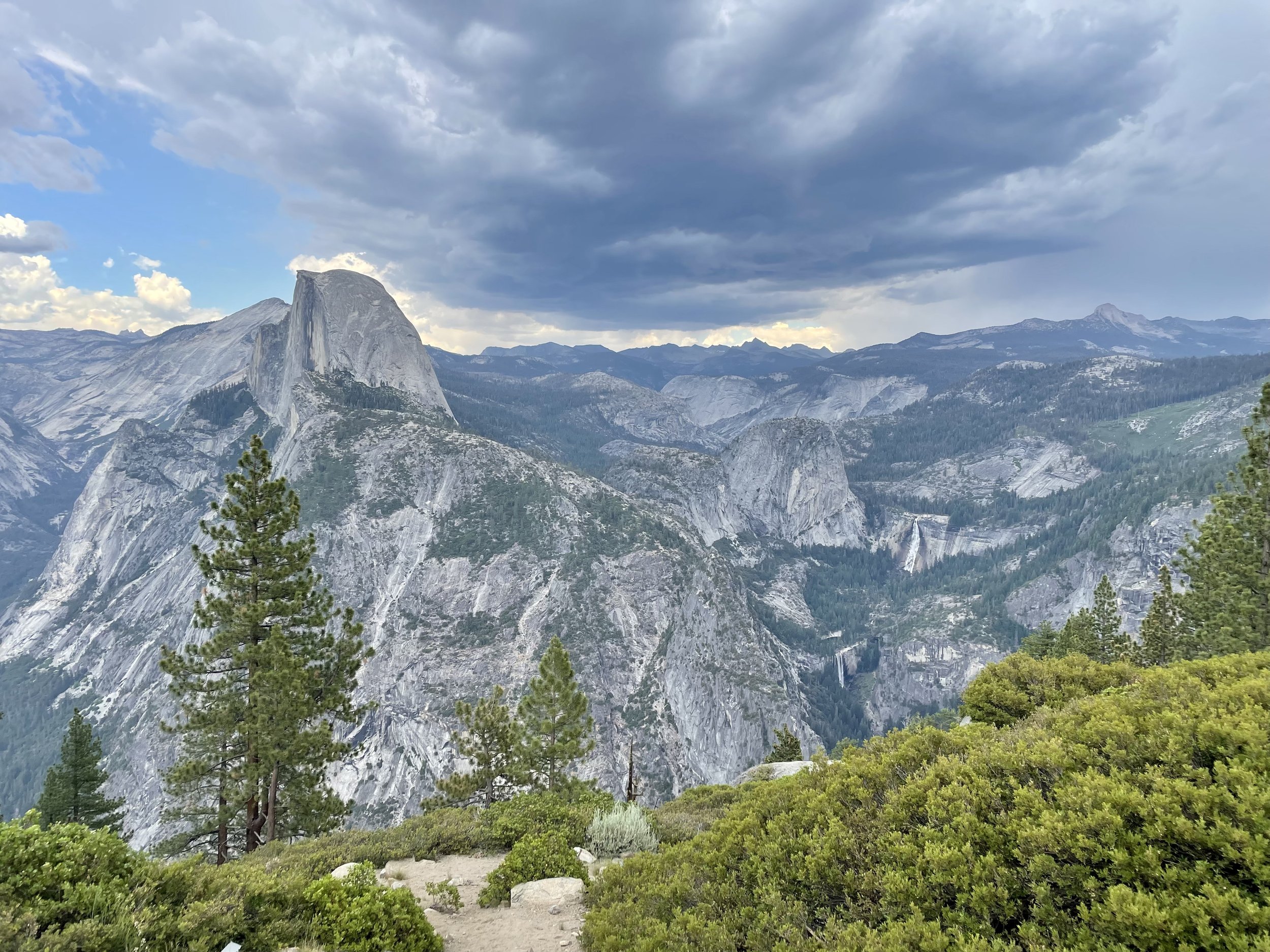
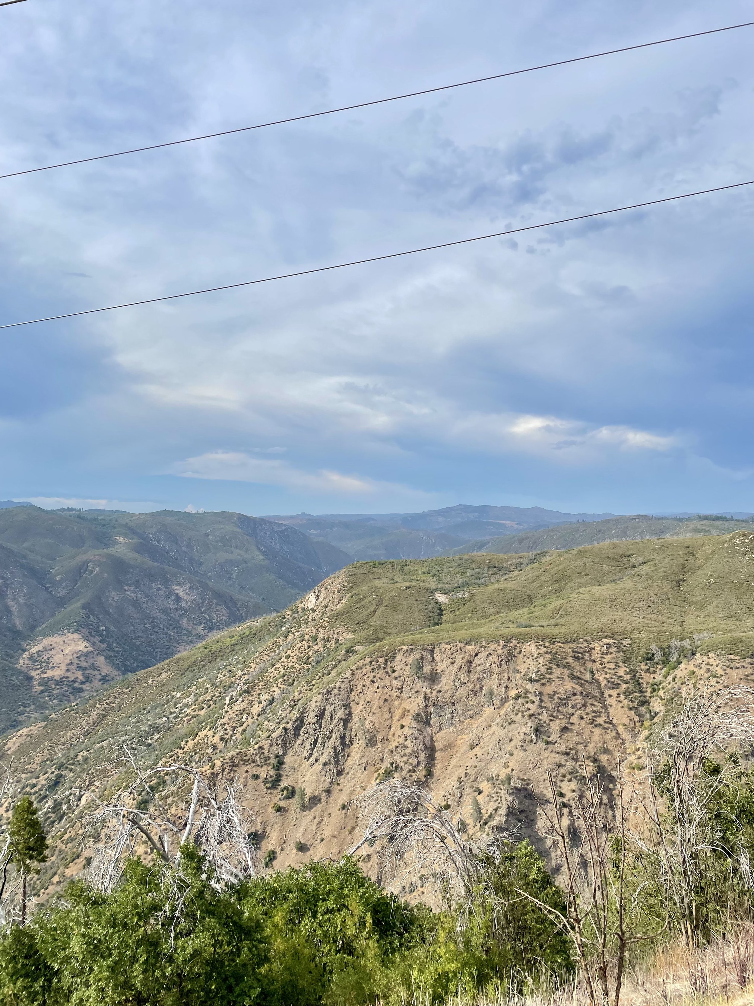
We met up with Sage and Ardi at their favorite Mexican restaurant for lunch, another craving I needed filled on this trip since Bellingham’s Mexican choices are a bit lackluster compared to California. Then we headed into the hills to Grant Park, more specifically the 1-acre Serra Cross Park within it, another historic spot. In 1782, Franciscan Father Junipero Serra raised a wooden cross on the mountain overlooking his newly established Mission San Buenaventura. Once used as a landmark by mariners at sea, the cross now rests within the 107-acre park, though the current cross is not the original one erected. I highly recommend reading its history and how the current wooden cross survived a destructive Thomas Fire in 2017. This historic cross and the circular stone pedestal around it is a well-known local spot for weddings and events. There was actually a wedding in progress while we were at the park, so I didn’t have the opportunity to see the lovely stonework and cross up close, but I still enjoyed the spectacular panoramic seascape views of Ventura below and Anacapa and Santa Cruz Islands in the distance. It is definitely “a lovely place to swim in the sky” as the Ventura tourism site states. I also enjoyed the view of the valley and hills to the northeast from the park, plus we took a great selfie on this beautiful sunny day!

While Dylan was visiting me a few months earlier, we tried to get tickets for the Van Gogh Exhibit in Seattle but sadly there were no tickets available. He surprised me with tickets to the Van Gogh: The Immersive Experience in Los Angeles and I was beyond excited to finally see this wonderful exhibit everyone was raving about! After a failed attempt to watch the sunset from Griffith Observatory due to heavy traffic, we grabbed some Thai food for dinner and then headed to the expo hall. There was an hour to kill before they would let us in, so we walked around the surrounding city blocks taking some fun photos and grabbing a drink at a lounge.

Then we headed back to the venue and immersed ourselves in the 20,000 sq. ft. light and sound spectacular exhibit featuring two-story projections of the artist’s most compelling works. Words cannot describe how beautiful and amazing this experience was! The whole presentation from the entryway to the various informational displays and into the great hall were incredible. We first watched the projections in a smaller mirrored room, then headed into the larger hall and watched the whole presentation a second time from one of the benches. I was in complete awe and bliss, loving every minute of the artistic display with the perfect soundtrack! I honestly think I could have spent another hour or two watching it over and over again from different spots as where you sit can really influence what you can see. I highly recommend this experience if you haven’t done it yet.

We went to Solimar Beach on my last day in Ventura to take in the sun and relax along the ocean. This beach is next to the small seaside gated housing development along Pacific Coast Highway (Hwy 1) about four miles north of downtown.  There is ample parking along the highway and spots to climb over the concrete wall to access the sand.  I’ve been to Emma Wood State Beach on a prior road trip, but never ventured north to Solimar before, which really gave me a new perspective on how much beach access there really is. While Dylan took a nap, I walked a good chunk of the long beach all the way to the homes and back, taking in the ocean air and warm weather. That evening we headed to Downtown Ventura, walking around a bit so I could see all the shops, bars, lounges, and restaurants. We choose a great Indian place for dinner and then headed home as I had an early flight home the next morning. Despite being a quick weekend trip, I had an amazing time with my wonderful friends in Ventura and hope to visit again!

Comment

Comment

My Visit To Yosemite

While I was in California celebrating my Golden Birthday in 2021, I had the opportunity to visit Yosemite National Park for the day and then head to an amazing event venue in the Sierra Foothills that a vanlife friend told me about a few years earlier.

I left Pinecrest on June 28 and drove two hours to Yosemite National Park, which I haven’t been to since I was in high school. It was a beautiful and sunny day and I enjoyed the views along California SR-120 on my drive, also known as Tioga Pass. Since I always get the America Is Beautiful National Parks Pass every year, I was able to secure a day pass for Yosemite as the park does require reservations from April to October. Driving into Yosemite Valley, a glacier carved valley in the western Sierra Nevada mountain range, you promptly get surrounded by towering granite summits and a dense forest of pines, with well-known landmarks gracing your vision. The valley is drained by the Merced River and a multitude of streams and waterfalls flow into it, including Tenaya, Illilouette, Yosemite and Bridalveil Creeks. I took my time driving around the loop through the valley, stopping at various spots to immerse myself in the spectacular views.

Upon entering the valley, you immediately get hit by undeniable presence of El Capitan, a granite monolith that's about 3,000 feet (914 m) from base to summit along its tallest face. El Capitan is composed almost entirely of a pale, coarse-grained granite approximately 100 MYA (million years old) and is a world-famous location for big wall climbing, including the disciplines of aid climbing, free climbing, and more recently for free solo climbing. El Capitán ("the captain", "the chief") was taken to be a loose Spanish translation of the local Native American name for the cliff,.“

My next incredible view was of Yosemite Falls, the highest waterfall in North America, dropping a total of 2,425 feet (739 m) from the top of the upper fall to the base of the lower fall. Yosemite Falls is actually made up of three separate falls: Upper Yosemite Fall (1,430 feet), the Middle Cascades (675 feet), and Lower Yosemite Fall (320 feet). When I was 15, I hiked the falls to the halfway point with my high school adventure club. I’m not in hiking shape anymore, so I enjoyed the view from the valley floor, happy that the water flow is at its peak in the Spring. The Ahwahneechee people, the native people of Yosemite Valley, called the waterfall "Cholock" ("the fall") and believed that the plunge pool at its base was inhabited by the spirits of several witches, called the "Poloti.

At the end of the valley loop is the famed rock formation of Half Dome, a batholith named for its distinct shape. One side is a sheer face while the other three sides are smooth and round, making it appear like a dome cut in half. It stands at nearly 8,800 feet above sea level and is composed of quartz monzonite, an igneous rock that solidified several thousand feet within the Earth. At its core are the remains of a magma chamber that cooled slowly and crystallized beneath the Earth's surface, which was then exposed and cut in half by erosion, leading to its current shape. Originally named “Tis-sa-ack,” an Ahwahnechee phrase for Cleft Rock, Half Dome has been the home to many famous ascents, including the first known ascent by George Anderson in 1875, who drilled holes into the smooth granite to scale the rock’s face.

It was such a beautiful day that I made a few stops along the Merced River to walk the trail. The Merced River first formed as the Sierra Nevada rose about 10 million years ago, and sediment eroded from its canyon helped form the flat floor of the San Joaquin Valley. Glaciation during the ice ages carved the high elevation parts of the watershed, including Yosemite Valley, into their present shape. Many Native American tribes have lived on the Merced River including the Miwok, Paiute, and Ahwahneechee. In the early 19th century, military expeditions sent by Spanish colonists from coastal California traveled into the Central Valley, and on one of these trips, headed by lieutenant Gabriel Moraga, the colonists arrived on the south bank of the Merced River thirsty and low on provisions. They named the river Rio de Nuestra Señora de la Merced (River of Our Lady of Mercy) because it provided much needed water. I definitely recommend walking around, checking out the Superintendent's Bridge, the Sentinel Bridge, and other bridges to take in all the views, and even taking a dip into the river while you’re visiting.

Another unforgettable view is that of Bridalveil Fall, which is 617 ft (188 m) in height and flows year round. While most of the falls in Yosemite are spawned by the glacier carved hanging valleys pouring the waterways into steep cascades, the primary source of Bridalveil Fall is Ostrander Lake, some 9.9 miles (16 km) to the south. In a brisk wind, the falling water is often blown sideways, and when the flow is light, it may not reach the ground directly below. Because of this, the Ahwahneechee Native Americans called this waterfall "Pohono", which means "Spirit of the Puffing Wind". As you can see in my photos, the wind definitely blew the top of the fall like a fan while the rest cascaded down the rocks to the bottom.

Since I entered the park through the north entrance, I didn’t experience the spectacular Tunnel View until I worked my way out on the south end, stopping at the vista point east of the Wawona Tunnel portal. The area was full of tourists taking in the view that Ansel Adams made famous. Luckily I found a parking spot and joined my fellow sightseers in capturing this unforgettable view of Yosemite Valley that features the southwest face of El Capitan on the left, Half Dome on axis, and Bridalveil Fall on the right.

Next up was driving up the south wall to check out the overlooks with commanding views of the valley below via Glacier Point Road. My first stop was Washburn Point where one has the perfect side angle view of Half Dome, without seeing any of its face, as well as the stunning view of the “giant staircase,” the cliff wall containing Nevada Fall and Vernal Fall, with Mount Broderick and Liberty Cap watching over the falls. The afternoon clouds were turning a bit moody in shades blue and gray, lending an ominous feel to the landscape, with hints of sunny clouds in the distance. It almost felt like there was a storm brewing, casting a shadow over the panoramic view.

Then I headed to Glacier Point, a world-renowned overlook that gives visitors a grand view of the valley from above and a captivating vista of the park's southeastern high peaks. Glacier Point is located on the south wall of Yosemite Valley at an elevation of 7,214 feet (2,199 m). I recommend walking the whole viewpoint to get different glimpses of all the sights, including a more angled view of Half Dome with its face, as well as the giant staircase of falls, and Clouds Rest, a massive granite formation just northeast of Half Dome.

As I left Yosemite and drove east towards Groveland, I happened to drive by the Stanislaus National Forest vista point named “Rim of the World” so I stopped at the roadside pullout to take in the view. It overlooks the deep canyon of the Tuolumne River with the Sierra peaks in the distance, though the view is partially obstructed by power lines. It’s definitely worth pulling over to soak in a breath-taking, panoramic view, but you’ll also notice the scars of the devastation of the “Rim Fire,” a forest fire that hit the place in August 2013, the third-largest wildfire in California's recorded history and the largest recorded in the Sierra Nevada at the time.

Seeing Yosemite as an adult was beyond my expectations. It’s one of the most popular national parks with photos inundating the internet, but unless you experience it in person, you will never fully understand the awe and amazement of this incredible glacier carved wonder! Stay tuned for my next post about a ranch near Coulterville that’s available for hosting various events.

Comment

Comment

Inaugural Descend On Lost Sierra 2021

Back in May 2021, I ventured from Washington to the Sierra Butte region of California's High Sierra to attend the inaugural Descend on Lost Sierra. The term “Lost Sierra” is attributed to William Berry, one-time official historian of the United States Ski Association, who used the term to describe the region when he visited it for the first time circa 1933. Many publications also refer to the area as Northern California's best kept secret as it doe not get as many tourists and many of the towns are still quite small and quaint. I highly recommend exploring the Lost Sierra if you’re near the Plumas and Sierra Counties, about an hour drive north of Truckee.

My journey started on May 26th driving south of Interstate-5 to Oregon with a quick stop at Gee Creek Safety Area, which is part of the Blue Star Memorial Highways and has a war memorial plaque for the men and women who have endured hardships as prisoners of war, who have been killed in action, and those who are still missing in action. There is also an interesting old wooden sign there about Fort Vancouver, which is located about 13 miles south. After a stroll around the rest stop with my cat Maverick, I continued on the freeway down to Eugene, OR, where I spent the night in front of a Boondockers Welcome host in the countryside.

The next morning I headed east past burnt Oregon forests to Klamath Falls near the California border and enjoyed lunch in Veterans Memorial Park, my favorite spot to stop there due to the lovely water view of Lake Ewauna. This time around, I actually walked around the veterans memorial which features memorial bricks for past and present military personnel, a covered pavilion, and a display of Locomotive#2579 used by the Southern Pacific Railroad. The sky and clouds were magnificent that day creating an incredible backdrop for photos!

After my park explorations, I headed south into California and stopped at Eagle Lake to see if it would be a great place to spend the night and possibly get a swim in. I stopped at Rocky Point East Campground to check out this small undeveloped campground. Unlike the developed campgrounds along the lake, this site is most suitable for self-contained camping like a camper van as there is no potable water nor trash removal available and only a vault toilet for use. The lake was super low and access for swimming impractical, so I gave up on that idea and just enjoyed the view. It was a bit windy that afternoon and sadly I didn’t realize my fedora hats got blown out my open back doors, including one my mom gave me before she passed away and my favorite black and zebra one, which are now lost forever! Due to the wind and lack of swimming access, I left and continued on to find a good overnight spot. I ended up driving just outside of Portola, only 30 minutes away from where Descend was taking place on a private ranch, and arrived just in time for a wonderful sunset, which I enjoyed from the L.T. Davis Rest Area before town.

The next morning I drove to Sierra Valley Basecamp where the event was taking place and found the perfect spot for my van along the edge of camp near some vanlife friends I knew from prior gatherings and waited for more of my friends to arrive. Descend on Bend has been my favorite vanlife gathering since 2018 when I attended my first one, so I was excited to be part of their new venture in Northern California. I volunteered to help out working the registration/merchandise area, hanging out with the organizers and the usual “Descend family” that you see at every one of their gatherings. I especially loved the rustic and romantic 19th century barn on site with an awesome stage and a cool saloon where we watched all the amazing artists and bands perform.

I camped with my good friend Ricardo and my new friend Mary, whom I met a few weeks earlier in a hot spring near Mammoth (see previous post). Mary has a super cool old Swiss Army Pinzgauer radio truck that got a lot of attention during the three day festival! One highlight was meeting talented artist Jacques, who joined our little group and has become a good friend of mine since. I was also camped near the Sēkr crew and Josiah from The Journal of Lost Time, who’s dog Rona tried to get into my van daily, freaking Maverick out a bit. On Sunday the 30th, I even got to meet up with my good Bay Area friends who just happen to have a vacation home near Portola and were there that weekend with some other mutual friends, so they picked me up and we enjoyed some lake time at Lake Davis Recreation Area to cool off as temperatures were in the mid-90’s. Then we went to their cabin to eat and play games until they dropped me off at the festival grounds that evening. It was so good to see them as it had been a few years!

It was sad to say goodbye to everyone the following day and head to our respective home bases, but memories from this gathering will forever be in my heart! The people you bond with at a Descend event generally turn into lifelong friends and I always look forward to seeing them the following years.

I originally planned to drive to Chico to visit some other friends, but a heatwave was hitting California with over 100*F temps in the valley, so I headed north to the cooler regions to stay away from the roasting areas. Read all about the next chapter of my journey as I worked my way home with stops at Lassen Volcanic National Park & McArthur-Burney Falls, Crater Lake National Park, the Rogue Umpqua Scenic Byway, and the North Clark County Scenic Drive (near Vancouver, WA)!

Comment

Comment

My VanFest Road Trip In 2021

Back in May 2021, I went out a fun journey to Utah for the inaugural VanFest. I had big plans to meet up with my friend Ricardo and caravan through a lot of the national and state parks/monuments in Utah and even get to the North Rim of the Grand Canyon, but he sadly couldn’t commit to week long road trip. I still planned to explore solo, but the universe had a different plan for me and the adventure I went on was still amazing and unforgettable!

My trip started on May 2 and took me from my home base in Bellingham over Snoqualmie Pass into Eastern Washington and through Yakima, the “Palm Springs of WA,” and then south into Oregon over the Columbia River at Umatilla. One highlight was coming down I-82 after passing Yakima and seeing both Mount Rainier to the north and Mount Adams to the south towering in the distance. I stopped quickly at Selah Creek Rest Area where I took some great photos of the valley below, then headed on. I found a wonderful camping spot called Spring Recreation Site along the Browlee Reservoir, a 52-mile long reservoir on the Snake River. Campsites there are only $5/night, though if you have an America Is Beautiful pass, it’s half that. For those of you that don’t care to have a paid campsite, there’s quite a few pullouts along the road you can overnight at for free instead.

The next morning I crossed into Idaho, my first time in this state, and drove through Nampa and Boise. I heard that Twin Falls was a must-see spot, so I took the small detour to check it out. I was pretty blown away by this lovely city along the Snake River Canyon and even more impressed by Shoshone Falls, the “Niagara of the West”! Shoshone Falls is 212 feet (65 m) in height, 45 feet (14 m) higher than Niagara Falls and flows over a rim nearly one thousand feet (300 m) in width. Luckily it was not a busy day so I didn’t have to battle any crowds while taking photos at all the viewpoints. I also stopped at Dierkes Lake, a popular swimming and fishing hole less than a mile up the road. I hope to spend more time in Southern Idaho in the future because there are actually over 30 waterfalls in the “City of Waterfalls” and even more in the surrounding region, including Perrine Coulee, Pillar Falls, Auger Falls, Twin Falls, Mermaid Cove, Cauldron Linn (Lynn), Ross Falls & Phantom Falls.

After my afternoon visit to Twin Falls, I headed south into Utah and stopped in Salt Lake City for the night to visit my friend Wayne. He drove me around his city right during the golden hour which really lights up Mount Olympus and the Wasatch Range. The clouds turned a lovely shade of pink that night as we ate dinner and hung out at his fire pit. I had read about Big & Little Cottonwood Canyons and decided to explore those the next morning. Big Cottonwood Canyon is a 15-mile scenic drive and home to two world-class ski resorts (Solitude & Brighton), legendary rock climbing routes, epic backcountry skiing access, hiking and mountain biking trails, and picnic areas straight out of an outdoor magazine. Little Cottonwood Canyon is the 7-mile “littler" scenic drive and home to world famous Snowbird and Alta ski resorts, as well as the Albion Basin, which encompasses Alta and is famous for its wildflowers, making it one of the most photographed areas in northern Utah.

I read that Donut Falls was an easy waterfall hike within Big Cottonwood Canyon, so I decided to stop and take the trail. The waterfall gets its name from a donut-hole shape in the rock. The falls pours through the hole into a small pool in a cave before trickling down the rocks. Normally this is an easy 1.5 mile trail, but during the winter the gate is closed to get to the starting point, so you have to park at the Mill D Trailhead, which adds roughly a mile round-trip to the hike. Since the weather was warm and sunny, I didn’t expect the trail to be covered in snow, but luckily I had my trekking poles with me! The hike ended up being quite the feat in the snow without spikes on my shoes; I even fell and slid on my ass and got all muddy, and the last part uphill to get to the falls required knee-deep steps with my poles supporting me the whole way. Sadly the snow covered a lot of the donut hole so one couldn’t get the full waterfall view and experience, but I was still proud of my first hike in the snow! I have since learned to carry micro spikes for my hiking shoes with me in the van.

While looking for a cool overnight spot, I found some spots along Highway 92 on iOverlander, an app I use fo find off-grid boondocking spots, and decided to head there. It seemed liked another cool mountain road to explore that would take my through Robert Redford’s Sundance and Provo Canyon the following day. What I didn’t know was that this road is closed during the winter or when snow hasn’t fully melted yet. I got about a third of the way there when I hit the road closure and had to turn around. The one good part was that there was a stunning viewpoint there but sadly I didn’t take any photos. Maybe another time I can take the Alpine Loop Scenic Drive along Mount Timpanogos and stop to see Timpanogos Cave National Monument. I ended up in the Cedar Hills area for the night, parked along farmland and enjoyed a peaceful nights rest.

My buddy Wayne recommend I ditch I-15 South and take Heritage Highway 89 instead on my way to Southwest Utah, so I did exactly that! I didn’t make all the stops that this article recommends, but I did enjoy seeing the countryside and valleys this route offers. I was intrigued by Panguitch Lake and decided to check it out and see if it was a viable place to spend the night. This lake has 10 miles of shoreline and is a popular fishing spot. Its name comes from the Paiute Native American word for “big fish” which is most appropriate considering that trophy-sized trout averaging anywhere from 14-24” are caught there. The campgrounds weren’t open yet so I risked staying the night along the lakeshore and luckily wasn’t bothered. Fishermen were there early in the morning so I’m guessing they assumed I was one of them getting there at the crack of dawn to fish.

The next morning I headed towards Cedar City which by a happy coincidence took me by Cedar Breaks National Monument, a stunning “Circle of Painted Cliffs.” I really enjoyed viewing this 10,000 feet grand staircase that looks down into a half-mile deep geologic amphitheater, though I was limited to the overlook points as all the hiking trails were still closed due to the snow. Then I headed south through Toquerville and La Verkin and towards Zion where I was meeting up other overlanders for the Sēkr Kickoff Meetup in the desert along the Virgin River. About 40 people came together that evening to celebrate community, enjoy a food-truck catered meal, and participate in a “Hot Ones” spinoff that I participated in — the sauces got spicy and I made it to the end! That night was the first time I experienced the string of lights in the night sky from Starlink satellites which totally freaked some other nomads out.

The following day was prep day to get my van exhibit ready. Before heading to Washington County Legacy Park to get a good spot for the first ever VanFest, which was taking place the next day on May 8th, I went to one of those self-serve car washes in Hurricane and scrubbed my van clean since I was selected as one of their exhibiting vans. There was a small festival with live music and food trucks going on that afternoon and evening in the grass along the buildings, which many of the exhibitors enjoyed while getting to know one another and bonding. The next morning I cleaning the inside of my van, set up the back in the couch/lounge position, rolled and stuffed my memory foam mattress topper in my big storage cabinet, put all my bedding away, and oiled my counters so that my van looked perfect for the exhibition. I was really impressed with the set up — the exhibiting vehicles were in the main parking area, the sponsors in the adjoining lot, the attendees vehicles parked in rows in another section, and there was a huge stage for music with various bands throughout the whole day. I don’t know exactly how many people attended, but I do know that I had a steady stream of vanlife enthusiasts viewing my van and asking build questions, plus I enjoyed watching The National Parks band headline to a good-size audience. I learned how to ride an ebike that day courtesy of Storyteller Overland and their Super73. I also watched my first movie projected onto the side of a white van that night and witnessed a fabulous jam session with various nomadic musicians that went on late into the night. Not only did I get to hangout with some vanlife friends I’ve made in the past, but I also met some of the people I conversed with on the drop-in audio app Clubhouse, which was super cool. The whole festival was truly an unforgettable experience with some amazing people!

The day after VanFest was definitely a recovery day, hanging out with the Sēkr crew and getting to shower in their Airbnb before heading back to BLM land outside of Zion National Park to meet up with the new friends I made at VanFest that were planning to caravan around Utah. As I mentioned at the beginning of this blog post, I originally had planned to visit Zion, Bryce Canyon, Arches, Canyonlands, Capital Reef, Grand Staircase-Escalante, Glen Canyon, Moab, and Monument Valley but those plans changed because my friend bailed on me a few weeks before the trip. I figured that with this new group and some solo travel, I’d still be able to see some of those destinations, but that’s when things went a bit sideways for me.

Those of you that really know me have often heard me say that I do not like hot weather — anything over 90*F is too hot for me. It just so happened that the beginning of May 2021 was super hot and getting hotter each day I was there. My weather app was predicting high 90’s/low 100’s at every park I planned to visit (except Bryce) and 112*F temps at Grand Canyon’s North Rim. I was already having a heard time with the heat in Southwestern Utah since I arrived and the idea of even higher temps was not sitting well with me. I don’t have air conditioning in the van and I was already super lethargic on May 9th. Late that afternoon and after much deliberation, I decided to change plans and head west into Nevada and towards the Eastern Sierra in California to meet up with my best buddy Eric. I said my goodbyes and took off early that evening and headed into Southeastern Nevada to a town called Panaca that has a warm spring I found on Google Maps. Enjoying a beautiful sunset during the drive, I arrived at Panaca Warm Spring in the dark and couldn’t quite tell if it was ok to park there overnight, but I decided to park my van near a tree in the dirt off to the side and away from the street and settle in for the night.

I was happy to wake up to some cooler temps the next morning. Surprisingly I was the only one there considering how nice Panaca Warm Spring is. This under-rated natural spring looks more like a pond with clear mid-80* temp water, a concrete dam on one end, and a staircase down for easy access. I enjoyed my time soaking in the temperate spring while my cat Maverick explored the vicinity. For those of you that like history, Panaca was the first permanent settlement by European Americans in southern Nevada, founded as a Mormon colony in 1864. It is one of two communities in Nevada that prohibits gambling and the only community in Nevada to be “dry” (forbidding the sale of alcoholic beverages). Having the place to myself was wonderful and the warm spring was beyond refreshing after my three days in the hot desert! I wanted to get to Mammoth quickly, so I left Panaca mid-morning and quickly drove through Cathedral Gorge State Park, a super cool spot where erosion has carved dramatic and unique patterns in the soft bentonite clay.

I headed east on Nevada State Route 375, better known as the Extraterrestrial Highway, a 98-mile stretch of road that runs alongside the famously secretive Area 51. Area 51 is the colloquial name of a highly classified United States Air Force facility that’s located within the Nevada Test and Training Range. I saw the sign that warned me that there’s no fuel along this highway, so I checked my gauge and it said I had more than twice as many miles left on my tank, so I headed into the Nevada desert. I had plans to stop in the very tiny town of Rachel and its famous cafe Little A’Le’Inn, as well as other landmarks to take photos, but what I didn’t expect to happen was tremendous headwind. About 30 minutes into the drive, I realized that my fuel range was rapidly decreasing and I started to get nervous. Driving through the desolate Nevada desert is an experience on its own without worrying about running out of fuel. The landscape is mainly mountains and joshua trees, which only grow in California, Arizona, Utah, Nevada, and Northwestern Mexico. Even though I knew there was a gas station in Rachel, I had a gut feeling it did not have diesel fuel. I decreased my speed to just under the speed limit for best fuel consumption and kept monitoring my fuel gauge and estimated miles left on the tank. Let’s just say that I watched my low fuel light come on, then a few miles before the town of Tonopah where I could refuel, the low fuel light started blinking like mad as the gauge went to zero. As this point I expected my van to stop and was prepared to walk the rest of the way to get diesel, but somehow Ardanwen my Sprinter chugged up that final ascend uphill and coasted into the first diesel station on its last fumes! I was relieved that i made it and learned my lesson to never attempt such foolishness in the future. On a side note, Tonopah is known for its rich history of silver mining and where many of the military men who work at Area 51 live.

After my trek through Nevada, I finally made it to Mammonth Lakes and met up with Eric at Distant Brewing. Then we headed to Twin Lakes to explore but could only get as far as the bridge due to a road closure. We decided to head south to Convict Lake, a stunning oblong-shaped lake with turquoise-blue clear water, boxed in by the steep backdrop of the Sierra Nevada, and highlighted by the 12,241’ Mount Morrison. Convict Lake was originally carved out by glaciers, and at up to 140’ deep in some places, it’s one of the deepest lakes in the region. This lake has an interesting history that changed its name from its traditional Mono name of Wit-sa-nap by American settlers. From there, Eric and I headed to Hilltop Hot Springs for a soak, one of our favorite spots in the area. This is a popular spot and can be quite crowded as it only fits about 8 people, but luckily there was enough room for us and we joined a fun crew of college graduates already in this 2 feet deep heavenly tub. A wonderful lady named Mary joined us a bit later and we instantly became friends. Lots of laughter ensued as the whole group bonded for the next few hours, watching the sunset over the mountains in the distance. Mary decided to join me and Eric for a fire pit by our vehicles and we decided to spend the night there, even though you’re technically not supposed to.

The next day I headed north to Mono Lake, an ancient saline lake that covers over 70 square miles and supports a unique and highly productive ecosystem, I spent some time exploring the South Tufa area where some of these remarkable tufa rock formations towered over me. I continued north up CA Route 395, probably one of the most scenic highways you can travel and one of my favorites, through Bridgeport and the Walker River Canyon, past Topaz Lake into Nevada, then back into California passing by Eagle Lake and through the Modoc National Forest (with some great views of Mount Lassen), and finally into Oregon. The last stretch of driving was along Upper Klammath Lake and onto the Willamette HIghway to McCredie Hot Springs. I did what most tourists do and went to the day use area and walked along the path to Salt Creek. Turns out you need to take a different road to actually get to the hot springs which are on the other side of the river, so be sure to follow these directions if you plan to visit. Since I didn’t make it to the springs, I left after my short hike and found a cool turnoff further down the road where I spent the night next to Salt Creek under the highway.

I woke up on the 10th and last day of this road trip and headed the rest of the way home, driving past Lookout Point Lake and Dexter Reservoir (both look like places to enjoy in the future), into Eugene, and then north up I-5 through Salem and the 45th Parallel. I made quick stop in Seattle to meet another Clubhouse friend named Mark who showed me the view of the Seattle Skyline from the top of his building. Then I drove then final stretch home to Bellingham. It was an eventful journey full of new explorations and new friends that I’ll always treasure!

Comment

Comment

The Trip That Changed My Life

As many of you know, I decided to pack up my life in California back in Fall of 2020 and move to the Pacific Northwest. I had been wanting to move out of California for awhile, mainly because I didn’t love the heat and traffic, but I was so established there between friendships, work, and my house that moving seemed like a lot of work and a little scary. I always heard that once you move out of California, it’s hard to move back, especially if you sell your house. Then in August 2020, Silicon Valley was hit with a huge dry lightning storm that caused some of the biggest fires in California history. For two weeks we had an orange apocalyptic sky with bad AQI that ended up affecting the whole West Coast, with smoke moving across the whole country! Between the fires and the increased amount of summer days over 100*F, I was over the heat and smoke, so I went on a 5 week road trip to Oregon and Washington to see where I would want to live.

For some reason, I never made it to the PNW until 2016, despite living in California most of my life. The guy I was dating that year took me on a vanlife road trip to Oregon and Washington, which is when I discovered how much I liked those two states. I kept visiting and exploring them over the next few years in my RV and enjoying my time there, making them viable choices of where to live next. I also considered moving to the Central Coast of California, somewhere near Pismo Beach. I went on this month-long road trip with another female vanlifer named Cory whom I met at a few vanlife gatherings over the years. She also wanted to leave the Bay Area and move to the PNW. We started the journey on September 24th and worked out way north to Fort Braggg, through the various Redwoods in Northern California, and even stopped at Moonstone Beach.

I originally figured I’d find the perfect beach town in Oregon as I’ve always wanted to live by water. Brookings was a front runner prior to the trip, mainly due to being right at the California border and having a lot of sunny days compared to other oceanside towns. One concern I had though was health care in these small beach towns as they don’t have the same amenities as big cities, which aren’t exactly that close. I did enjoy my time in Harbor and Brookings, but there was a heatwave hitting California and Southern Oregon with 90+* temps that made me reconsider the idea of moving to a place that was still quite hot at the beginning of Fall. I also heard from some newer locals I met who had moved there that finding a house was hard since not much inventory was available. One family had been looking for a year and still hadn’t found a house that was worthwhile. Cory and I decided to drive further north to get away from the heat and continue to see what towns were more favorable.

After a nice stint on the Oregon coast with stops in Bandon, Florence, Coos Bay, Yachats, Newport, Tillamook, Manzanita (another town that topped my list), and Astoria, we worked out way inland along the Columbia River Gorge on the Washington side to Skamokawa for riverside camping, and then even further inland to Graham where Cory had some friends that hosted us with a gorgeous view of Mount Rainier. From there we headed to Alki Beach in West Seattle, but the weather turned gray and misty, plus we spent a restless night along the waterfront due to traffic and noise. Cory needed to get her Roadtrek serviced near Seattle for a few days, so we parted ways and I headed north to Bellingham to visit a friend from high school who always spoke very highly of this small city near the Canadian border.

What I didn’t realize at the time was how this part of the trip would change my life forever. I literally FELL IN LOVE WITH BELLINGHAM! I had the best four days exploring this idyllic bayside city that feels like a big town. There are no high rise buildings, no traffic, lots of parks, waterfront trails, a beautiful waterfall, and the huge 13 miles long Lake Whatcom only 10 minutes from downtown. The weather was sunny and between the bay, the lake, and the mountains, I just felt like I was home. Bellingham has a European feel to it and there are a lot of outdoor activities to enjoy without having to drive far. It’s a haven for hiking, kayaking, paddle-boarding, boating, fishing, mountain biking, and even skiing and snowboarding at Mount Baker. I also took a day trip to Anacortes, which is a charming island town close to the San Juan Islands, and Deception Pass State Park. I hired my friend’s real estate agent with hopes of finding a house with lake or sunset view in the Bellingham vicinity before I left.

After my incredible days in Bellingham, Cory and I met up again and headed south to Bay View State Park for some camping, meeting up with another vanlifer whom I met on Instagram named Cameron. Then after a stop at Snoqualmie Falls, the three of us headed to the Olympic Peninsula to spend a few days in Sequim, known for its lavender, game farm, and lots of water and mountain views. Sequim is a small town of 30K people (if you count the greater surrounding area) and is often referred to as the “Blue Hole” because it is in the rain shadow of the Olympic Mountains and stays sunnier than most of the Puget Sound area. There are still some occasional drizzles of rain, but those led to seeing lots of rainbows!! Cory and I met with a real estate agent and got familiar with the different regions of Sequim and I even found a house on sale that appealed to me. I made an offer on it, but was beaten by a much higher cash offer. Turns out one of the founders of Descend on Bend lives in Sequim, so I spent one night at their place enjoying the sunset view and bonding with the family. My days in Sequim were quite lovely, making it my second choice to move to.

Cameron, Cory, and I parted ways after Sequim. Cameron headed to spend time with a friend of his in Port Angeles, Cory headed to Oregon’s wine country, and I headed further west and then south on the Olympic Peninsula to explore Lake Crescent, Marymere Falls, and the Hoh Rainforest, all of which are located in the Olympic National Park. It was a wet and rainy few days, therefore, I headed back inland to McMinnville, Oregon, for some wine tasting in sunny warm temps. From there, I worked my way south with a stop in Corvallis for cider tasting, and then west to Highway 101 to take the scenic, mostly ocean-front drive south with quite a few stops in the Samuel H Boardman Scenic Corridor just north of Brookings. The moment I crossed the border and saw the “Welcome to California” sign, my heart sank, which is when I knew the time for me to move was official — I no longer wanted to live in California.

I got home on October 30, 2020, and packed up the 10% of my belongings I wanted to keep in 2 weeks. I had an estate sale on November 21st. The following week I had friends and acquaintances take whatever they wanted from what was left, and then the weekend after Thanksgiving, I made a Craigslist post for people to grab whatever they wanted from the garage. I had very little left for donation and dump runs, and then my house was cleaned, staged, photographed, and went on the MLS on December 4th. I had so many offers the following day that I went under contract on the 5th. That’s how quick the process was, a little over a month and I no longer owned property in California! The crazy part was that I hadn’t found a house yet in Bellingham nor Sequim, so I started looking for a rental and found one just outside of Bellingham. Then the day after I closed escrow on my California house, this beautiful modern house near Lake Whatcom in Bellingham went on the market. It was everything I ever I wanted style wise, so I bid on it sight unseen, though my Bellingham friend did go look at it for me and gave me his approval. The sellers didn’t want a bidding war so they took my offer and I went under contract with a mid-February close. I was able to stay in the California house I just sold until January 21st, then I stayed at my friend’s ranch until I moved to Washington on February 1, 2021.

That Pacific Northwest vanlife trip was the best decision of my life. Many of my Bay Area friends didn’t understand my urge to pack up and move in such a short time frame, but for me it was the right decision. I just had a gut feeling that I needed to start over somewhere fresh with a healthier lifestyle. Was it a bold move with some risk involved? SURE! But I also knew that if by chance I didn’t love living in Bellingham, I could always move after two years and find another place. I also knew to trust my instincts and they told me that living in Washington was just what I needed. My instincts were right! Turns out I absolutely love where I live, that the Pacific Northwest climate, landscape, scenery, and lifestyle really suit me, and I’ve never looked back. Sometimes I even wish that I moved here when I was younger because I feel so at home now.

I always encourage everyone to FOLLOW YOUR DREAMS. Moving can be scary, especially when you’ve lived somewhere most of your life, but moving can also be SO REWARDING! I can honestly say I live a much healthier lifestyle, enjoying nature, exploring new places, camping, hiking, kayaking, spending time outdoors, all things I was not doing in California. The heat and the traffic kept me from exploring and made me lethargic. I can no longer imagine living in a big city. I finally live near water like I’ve always wanted, I even live in the forest. Plus I love that I can be completely immersed in nature feeling like I’m far from civilization within 5 minutes of my house. So if you’re reading this and you’ve been feeling the need to change your life, I encourage you to go for it, even if it seems scary or impossible. You are the the only person that can change your quality of life and make it better. JUST DO IT, take the plunge!

A quick closing note. Cory also ended up finding her retirement place on this caravanning trip. She moved to Florence, OR, about a year after I moved. She’s also super happy with her decision!

Comment

12 Comments

How To Reclassify Your Van Conversion To A Motorhome In California

vanbarb.jpg

I recently went through the process of reclassifying my new Sprinter van conversion as a motorhome at the DMV in California.  When you buy an empty cargo van, the VIN # is generally classified as a commercial cargo van.  Once you convert the cargo van to a living space, the value of what you put into the conversion is not covered under the original insurance policy for the cargo van. That policy basically only covers the vehicle shell and engine block.  Therefore, the process to reclassify your vehicle is very important so you can get insurance coverage for the full value of the vehicle with the conversion and all the upgrades.  There are a lot of things that the DMV website doesn't explain well, so I figured it would be good to give you all a step-by-step process on how to do this.

1) I recommend reading this overview on the DMV website, especially the part about Camper Recreational Vehicle Definitions, which can be quite helpful.

2) Download form REG 256A on the DMV website. You fill out the top section (license plate, VIN, year/make), and then Section E.  Do not fill out Sections A-D as they do not apply to this.  Then you answer which of the three conversion choices if applicable to you.  I selected the third option, ‘this vehicle was permanently modified,’ checked ‘converted to motorhome,’ and entered the modification completion date. Then you enter the cost of the complete vehicle before it was modified (I entered what I paid for the new Sprinter), the cost of changes, including labor (I entered my whole build cost), and the total value of the vehicle now (cost of vehicle, all the upgrades, all the labor, etc.). Lastly, you sign, date, and write in your phone number.

3) Make sure you have your Title! If you are financing your van, you may not have your title because the lien holder has it. If that is the case, you will need to contact your lien holder and have them mail the title to the local DMV office you will be going to. Sometimes this can take a few weeks or even a month. In my case Mercedes Benz said they mailed it the day after I requested it, but the DMV didn’t get it until a month later. I’m assuming that is because they are short staffed and it takes awhile for all the mail to get sorted.

4) Bring your Title, Registration, filled-out Form REG 256A, and copies of all the build receipts to the DMV with your converted van and go to their Vehicle Inspection lane.  This is usually next to the drivers test lane.  Someone from the DMV will come out and you can tell them you converted the van and want it reclassified as a motorhome and give them your documents.  They will check out the conversion and check your mileage.  Then they hand you another form that shows inspection was done and conversion confirmed.

5) Go inside the DMV with all the paperwork and wait to get a number. Once you get called, you give the DMV employee all your paperwork and explain you are there to reclassify your vehicle from a commercial cargo van to an automobile motorhome.  Don’t be surprised if they ask for guidance from another DMV clerk as this is not an every day request. But don’t worry, they will reclassify your vehicle VIN # in their system, even if this takes longer than you expect.  Since you are increasing the value of your van, you will need to pay more registration fees because those fees are based on the vehicle's total value.  If you just renewed your registration, you will only have to pay the difference, but if your registration is about to expire, you will have to pay the full amount.  Until recently, the DMV only accepts cash, check, or debit card as payment, but now they also take credit cards.  I would bring your checkbook just in case though as that might vary by DMV office.  There is a fee for using debit or credit, which I believe is 2.75% of the amount, so if you are looking to save money, bring cash or check.  You will be issued a new registration and the process with the DMV is now complete.

6) Next thing you should do is call your van insurance.  They will need to change or update your van insurance to reflect that it is a motorhome, which is very different from being a cargo van.  Many insurance companies will not insure a van conversion. For example, Progressive and AAA in California will not insure it (based on my phone calls with them in August 2020).  State Farm will insure a van conversion and my rep completely understood what that entailed so that everything is fully covered in case of an accident.  They do require build receipts as well as build photos as proof of the conversion.  I've also heard that Allstate, and USAA will insure van conversions, so I also recommend getting quotes from them as well.  Make sure you select enough coverage in bodily injury, liability, uninsured motorist, etc., so you are financially covered in case of a tragic accident.  Van conversions do a lot more damage than a regular car due to their weight, so you want to keep that in mind when selecting your liability ranges.  Also keep in mind your wealth/assets as someone could go after you for damages. Umbrella insurance policies could also come into play. Talk to your agent and make sure you get what you need so you are covered in every way.

I hope this break down is helpful and simplifies the whole process for you! If you are looking for some more information on insurance, I highly recommend Bearfoot Theory’s module on choosing an RV insurance policy for vanlife, as well as R.O.W. with Mick and Chick's insurance blog posts, which are both very informative!

12 Comments

Comment

Fort Bragg & Ocean Views

FortBragg.jpg

I enjoyed a lovely lunch with beach front views in Fort Bragg last week after a wonderful camping experience in the Timber Cove area. Despite the foggy weather along most of the coast, there was a nice patch of blue skies in Fort Bragg with the fog layer over the ocean.

As I drove off from Ocean Cove earlier that morning, I took some photos looking back at the beautiful campground on the cliff. The pics I took don’t so it justice but it gives you an idea of how cool the place is.

I always love it when you come around a bend and see the beautiful California coastline, so I couldn’t help taking pics whilst I was driving.

See my Instagram post for all these photos!

Comment

Comment

Ocean Cove Campground

OceanCove.jpg

Just north of Jenner and Timber Cove, there is this awesome campground on a cliff overlooking the ocean. I read about this place the day before I left on my coastal trip and had a feeling it would be amazing. Ocean Ocean Cove is a beautiful first-come campground with great views from pretty much any spot!

I found a great site near the cliff and parked so I could see the ocean from my bed with the rear doors open. It was slightly foggy when I arrived, but since I love the ocean breeze, I didn’t really mind.

I spent the afternoon reading whilst listening to waves crashing, then made dinner, and ended the evening with a lovely fire and Maverick’s nightly walk. I woke up to blue skies and a gorgeous view, ate breakfast, packed up, and then continued on my trek north.

Ocean Cove is definitely a campsite I plan to stay at every year. It’s not too long of a drive yet far enough away from home to feel like you got away. Next time I plan to stay a few nights and really take advantage of the views and campground!

For more photos, check out my Instagram post!

Comment