Viewing entries tagged
Northern California

Comment

Big Table Ranch Near Coulterville

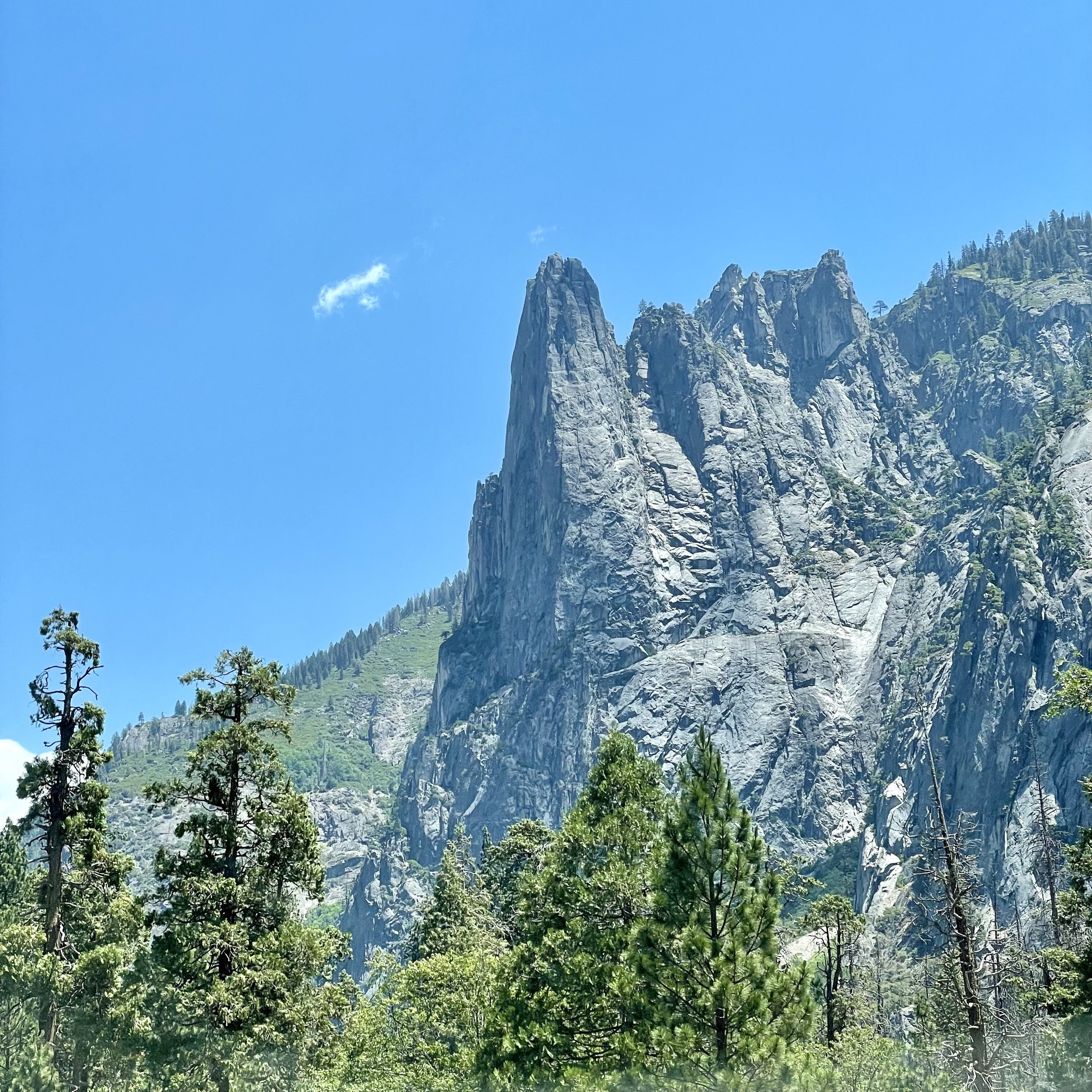
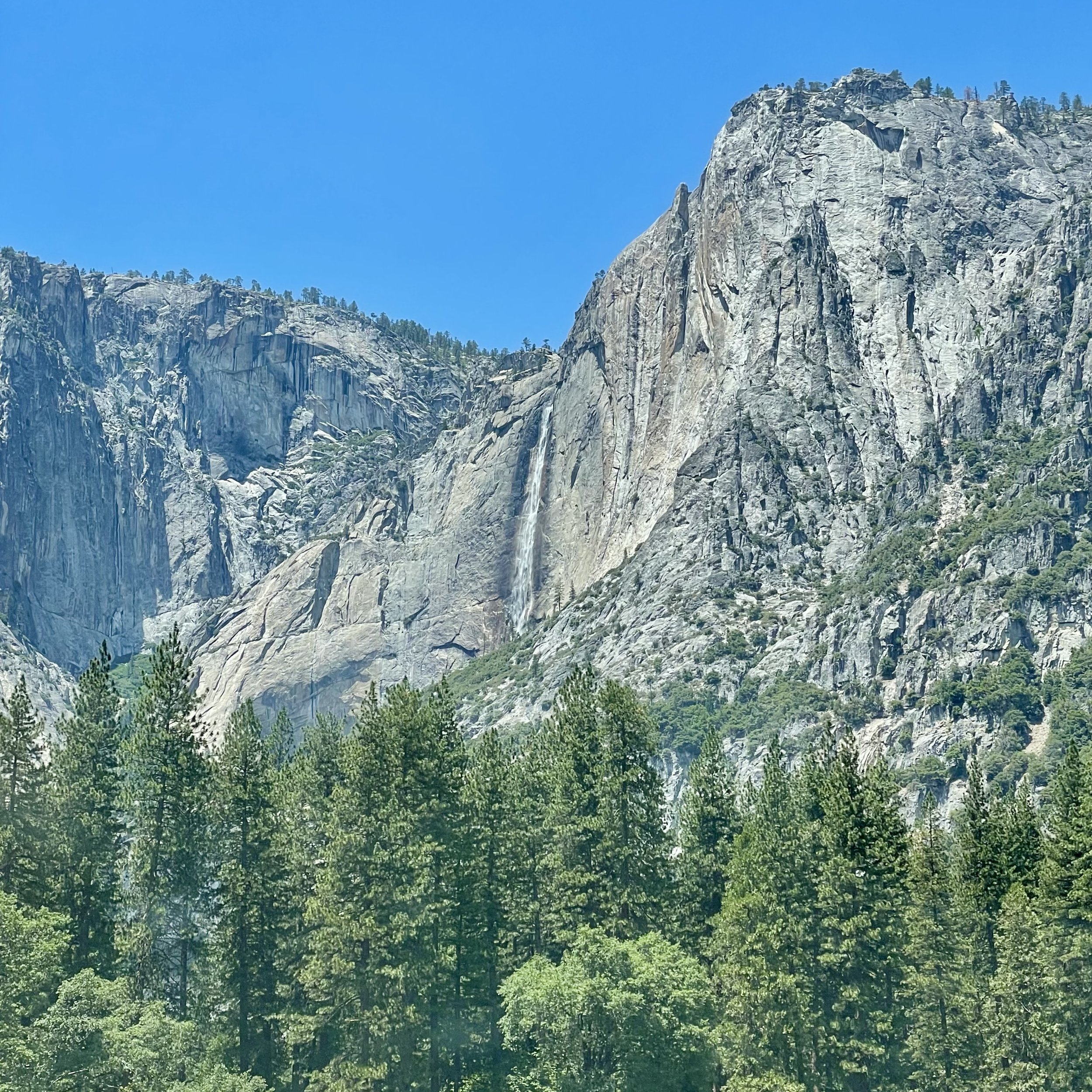
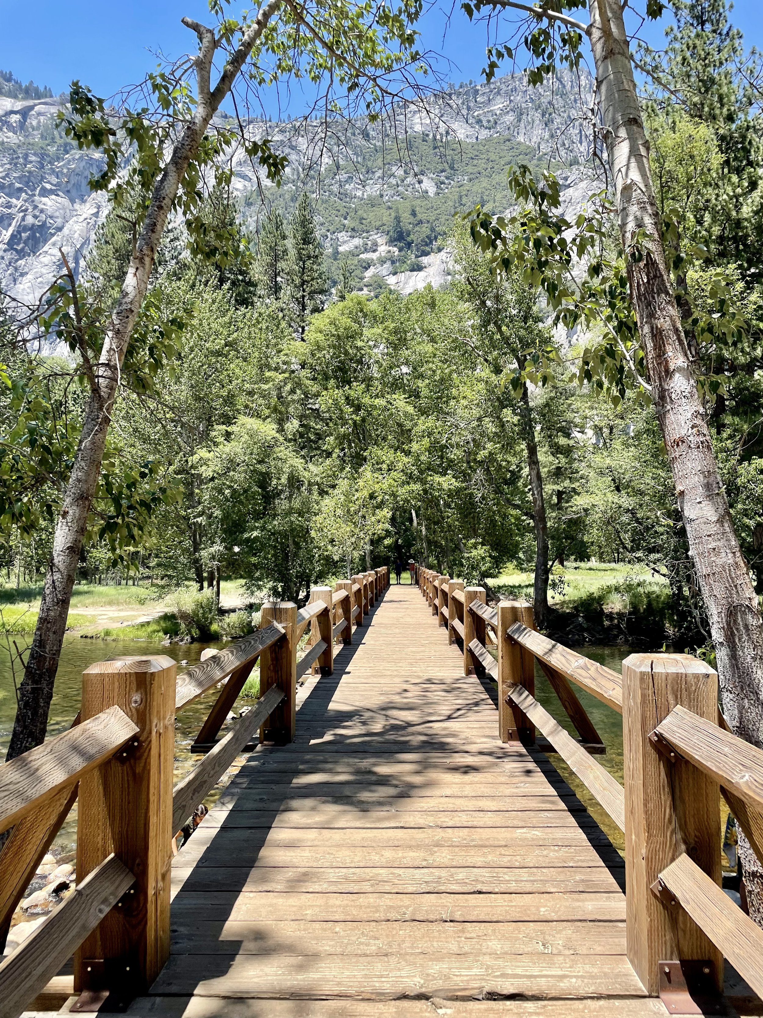
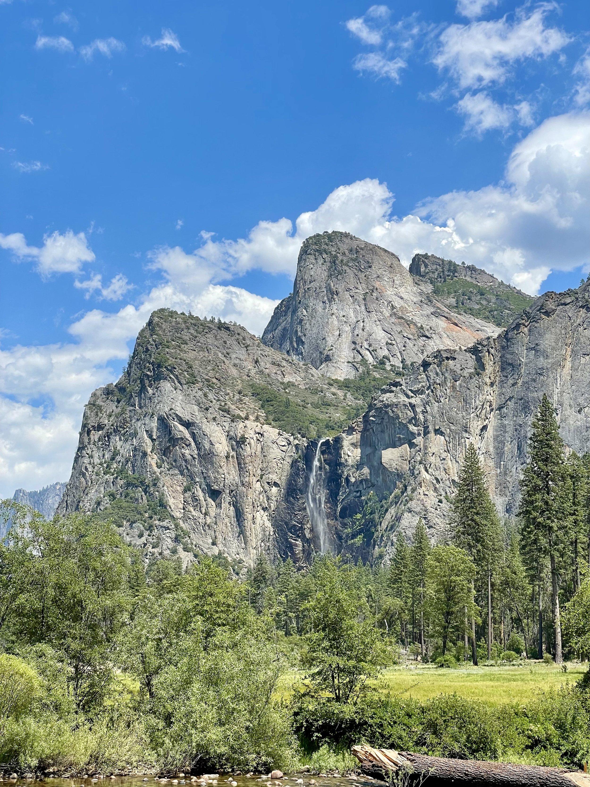
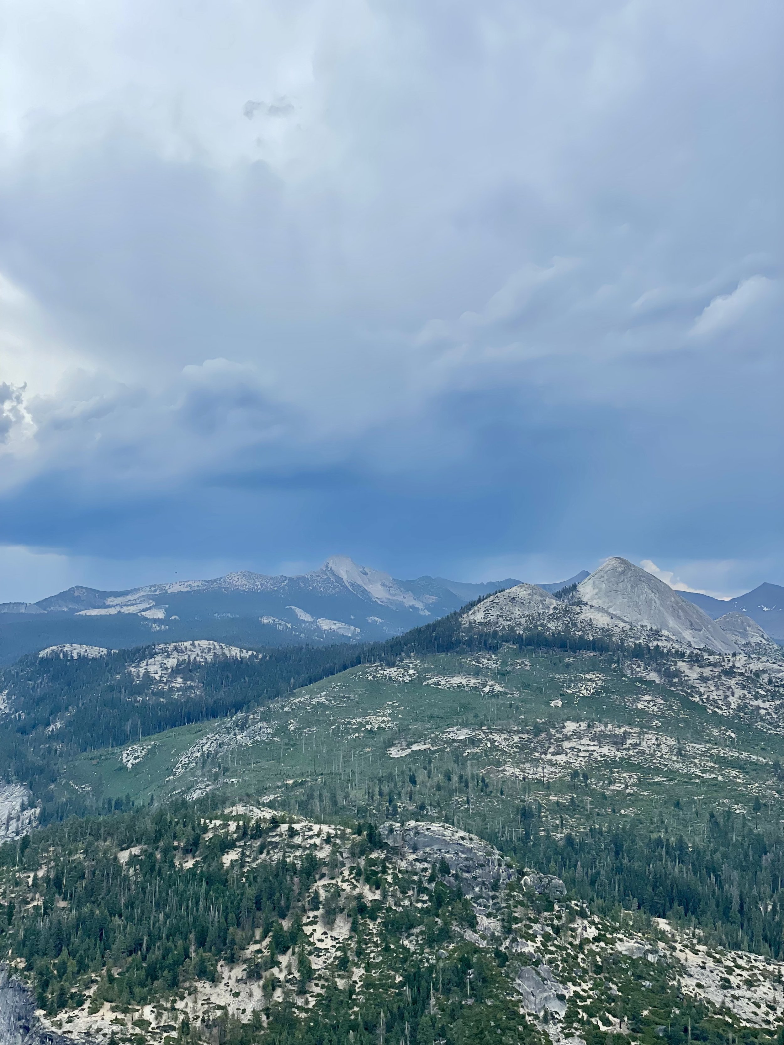
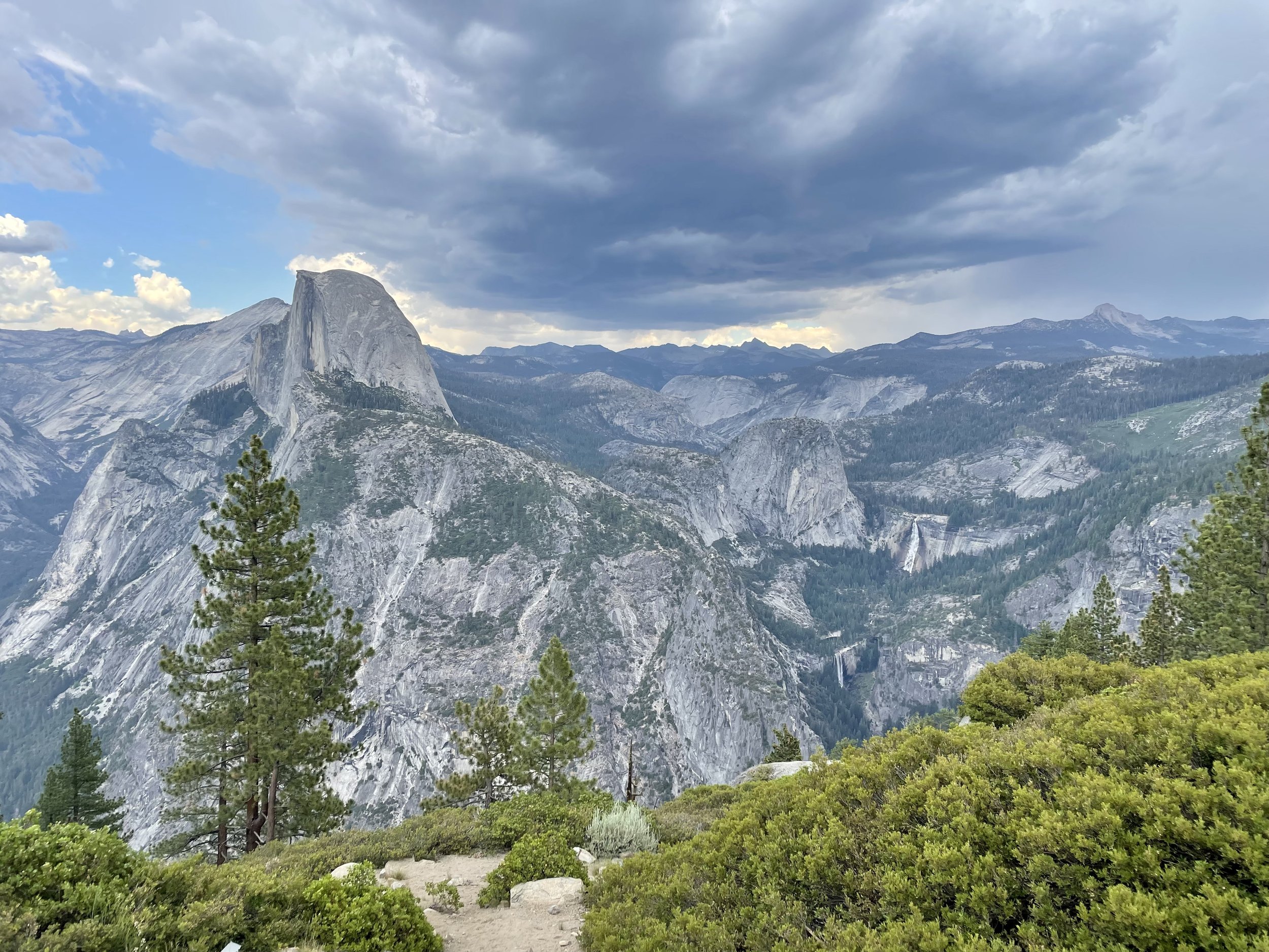
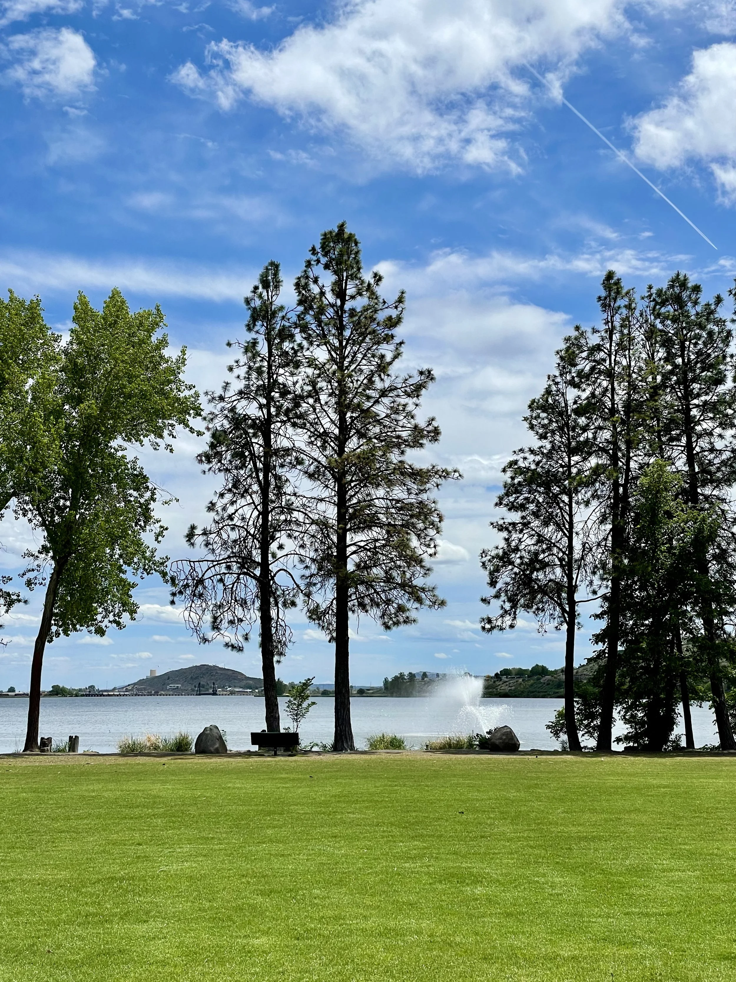
After my wonderful time in Yosemite back in June 2021, I drove 28 miles west to meet some amazing ladies who created a wonderful community space and venue near the historic Goldrush town of Coulterville. Nestled in the Sierra Foothills on 35 acres of open meadows, Big Table Ranch features hiking trails, a gorgeous pool and lounging area, and a guest house they rent out through Airbnb, plus various cool rustic structures and hidden treasures. The location is also near McClure Lake and Don Pedro, making it a great spot to stay if you're into boating and water sports. Owners Kim Brisack & Dawn Huston bought this property in 2015 and with some hard work and a vision, they nurtured the land and buildings to make it an incredible place for gatherings of all kind, creating community around a big table. Their motto is "when you have more than you need, build a bigger table" and they truly mean it!

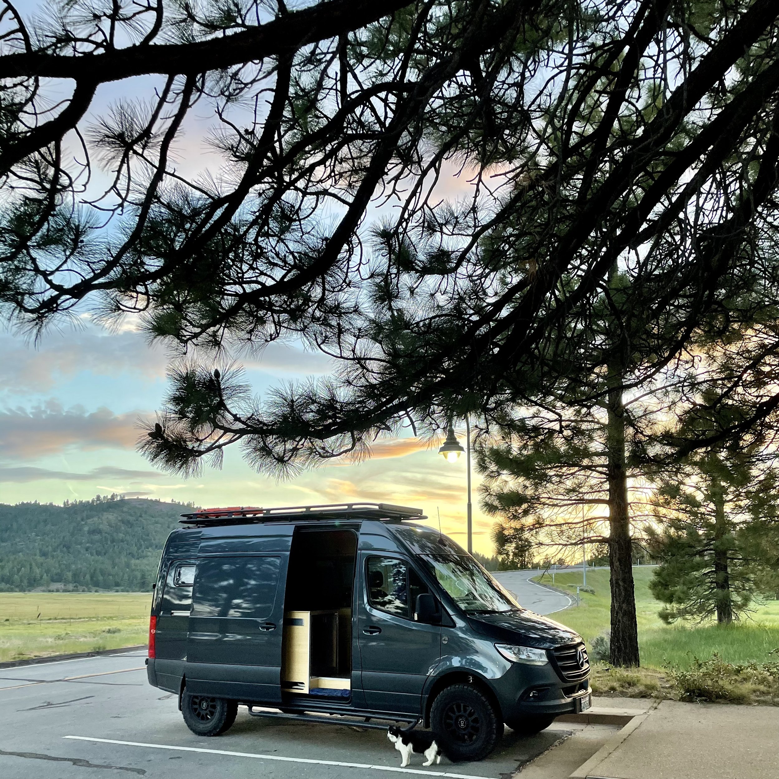
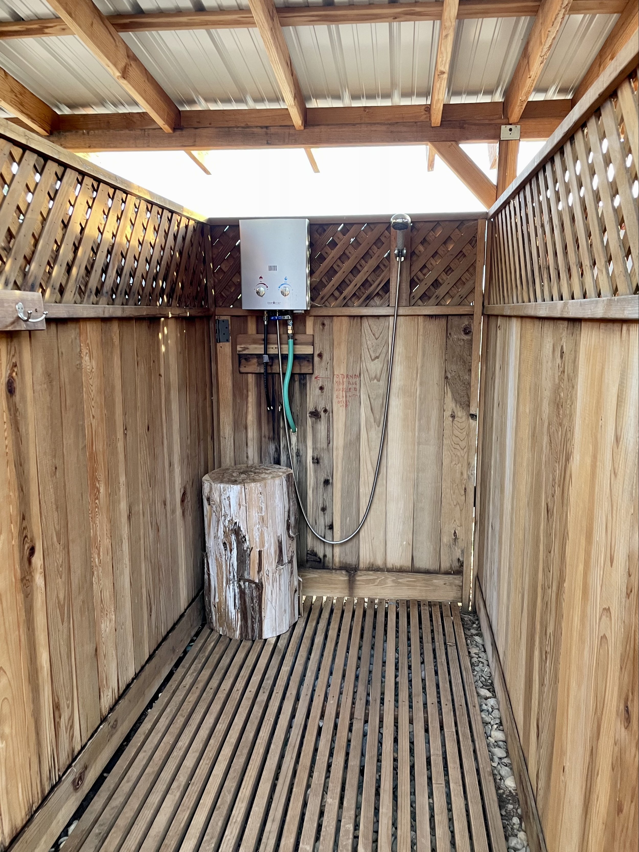
My vanlife friend Bex told me about their ranch while we were at Descend on Bend in 2019 because I was looking for private land to host a California vanlife gathering, so I contacted them and they were more than happy to have me visit to see their space and discuss what they offer. Kim and Dawn welcomed me with open arms, showed me around the property, and even invited me to join them for dinner. After choosing a shady spot for my van at top of the big open field under a tree, I took an amazing shower in one of their super cool and private shower stalls, and then headed to their house to hang out with my magnanimous hosts and some of their friends who were also visiting.

Their home (known as the Big House) is a spacious barn-style building with an open floor plan, high ceilings, a big wooden table, lounge chairs and couches, and a large kitchen. Sadly I didn’t take any photos as I was busy socializing with my new friends. We talked and enjoyed appetizers on their lovely porch watching the sunset over the hills, followed by a potluck dinner that was delicious! The generosity, inclusivity, and sense of community my hosts graciously provide is truly magical and I went to sleep in my van feeling fulfilled with a sense of belonging you don’t often find. I was only there for the one night, but I can see how this ranch is a great location for any kind of event, weddings, hiking, swimming and relaxing — Kim and Dawn really have created a special place full of love and hospitality! I never did end up creating my California vanlife gathering, but I will never forget that evening and am so grateful for meeting these incredible humans and getting to experience what Big Table Ranch offers!

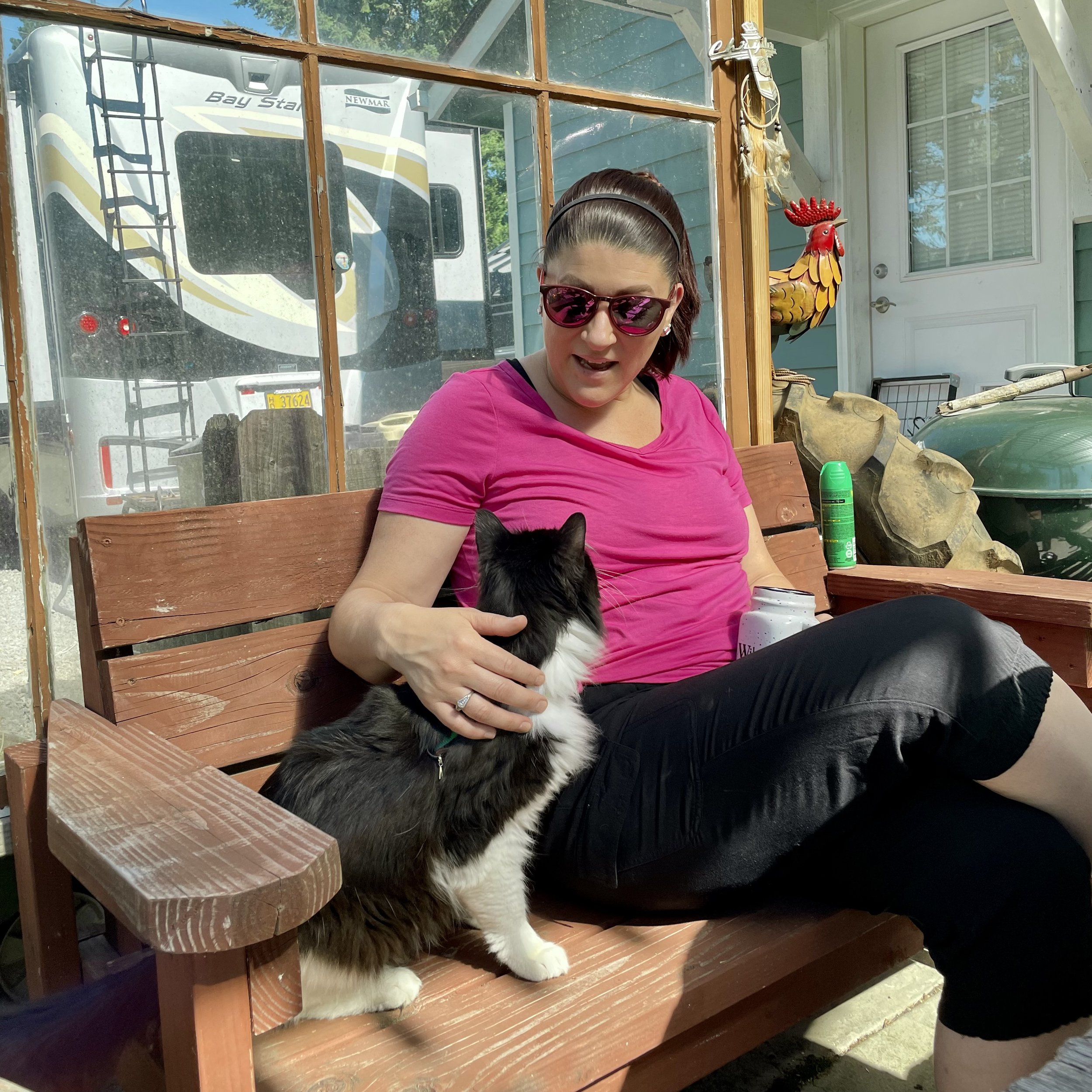
Even my cat Maverick approved, having the best time climbing in the big trees that my van was camped under!

Comment

Comment

My Visit To Yosemite

While I was in California celebrating my Golden Birthday in 2021, I had the opportunity to visit Yosemite National Park for the day and then head to an amazing event venue in the Sierra Foothills that a vanlife friend told me about a few years earlier.

I left Pinecrest on June 28 and drove two hours to Yosemite National Park, which I haven’t been to since I was in high school. It was a beautiful and sunny day and I enjoyed the views along California SR-120 on my drive, also known as Tioga Pass. Since I always get the America Is Beautiful National Parks Pass every year, I was able to secure a day pass for Yosemite as the park does require reservations from April to October. Driving into Yosemite Valley, a glacier carved valley in the western Sierra Nevada mountain range, you promptly get surrounded by towering granite summits and a dense forest of pines, with well-known landmarks gracing your vision. The valley is drained by the Merced River and a multitude of streams and waterfalls flow into it, including Tenaya, Illilouette, Yosemite and Bridalveil Creeks. I took my time driving around the loop through the valley, stopping at various spots to immerse myself in the spectacular views.

Upon entering the valley, you immediately get hit by undeniable presence of El Capitan, a granite monolith that's about 3,000 feet (914 m) from base to summit along its tallest face. El Capitan is composed almost entirely of a pale, coarse-grained granite approximately 100 MYA (million years old) and is a world-famous location for big wall climbing, including the disciplines of aid climbing, free climbing, and more recently for free solo climbing. El Capitán ("the captain", "the chief") was taken to be a loose Spanish translation of the local Native American name for the cliff,.“

My next incredible view was of Yosemite Falls, the highest waterfall in North America, dropping a total of 2,425 feet (739 m) from the top of the upper fall to the base of the lower fall. Yosemite Falls is actually made up of three separate falls: Upper Yosemite Fall (1,430 feet), the Middle Cascades (675 feet), and Lower Yosemite Fall (320 feet). When I was 15, I hiked the falls to the halfway point with my high school adventure club. I’m not in hiking shape anymore, so I enjoyed the view from the valley floor, happy that the water flow is at its peak in the Spring. The Ahwahneechee people, the native people of Yosemite Valley, called the waterfall "Cholock" ("the fall") and believed that the plunge pool at its base was inhabited by the spirits of several witches, called the "Poloti.

At the end of the valley loop is the famed rock formation of Half Dome, a batholith named for its distinct shape. One side is a sheer face while the other three sides are smooth and round, making it appear like a dome cut in half. It stands at nearly 8,800 feet above sea level and is composed of quartz monzonite, an igneous rock that solidified several thousand feet within the Earth. At its core are the remains of a magma chamber that cooled slowly and crystallized beneath the Earth's surface, which was then exposed and cut in half by erosion, leading to its current shape. Originally named “Tis-sa-ack,” an Ahwahnechee phrase for Cleft Rock, Half Dome has been the home to many famous ascents, including the first known ascent by George Anderson in 1875, who drilled holes into the smooth granite to scale the rock’s face.

It was such a beautiful day that I made a few stops along the Merced River to walk the trail. The Merced River first formed as the Sierra Nevada rose about 10 million years ago, and sediment eroded from its canyon helped form the flat floor of the San Joaquin Valley. Glaciation during the ice ages carved the high elevation parts of the watershed, including Yosemite Valley, into their present shape. Many Native American tribes have lived on the Merced River including the Miwok, Paiute, and Ahwahneechee. In the early 19th century, military expeditions sent by Spanish colonists from coastal California traveled into the Central Valley, and on one of these trips, headed by lieutenant Gabriel Moraga, the colonists arrived on the south bank of the Merced River thirsty and low on provisions. They named the river Rio de Nuestra Señora de la Merced (River of Our Lady of Mercy) because it provided much needed water. I definitely recommend walking around, checking out the Superintendent's Bridge, the Sentinel Bridge, and other bridges to take in all the views, and even taking a dip into the river while you’re visiting.

Another unforgettable view is that of Bridalveil Fall, which is 617 ft (188 m) in height and flows year round. While most of the falls in Yosemite are spawned by the glacier carved hanging valleys pouring the waterways into steep cascades, the primary source of Bridalveil Fall is Ostrander Lake, some 9.9 miles (16 km) to the south. In a brisk wind, the falling water is often blown sideways, and when the flow is light, it may not reach the ground directly below. Because of this, the Ahwahneechee Native Americans called this waterfall "Pohono", which means "Spirit of the Puffing Wind". As you can see in my photos, the wind definitely blew the top of the fall like a fan while the rest cascaded down the rocks to the bottom.

Since I entered the park through the north entrance, I didn’t experience the spectacular Tunnel View until I worked my way out on the south end, stopping at the vista point east of the Wawona Tunnel portal. The area was full of tourists taking in the view that Ansel Adams made famous. Luckily I found a parking spot and joined my fellow sightseers in capturing this unforgettable view of Yosemite Valley that features the southwest face of El Capitan on the left, Half Dome on axis, and Bridalveil Fall on the right.

Next up was driving up the south wall to check out the overlooks with commanding views of the valley below via Glacier Point Road. My first stop was Washburn Point where one has the perfect side angle view of Half Dome, without seeing any of its face, as well as the stunning view of the “giant staircase,” the cliff wall containing Nevada Fall and Vernal Fall, with Mount Broderick and Liberty Cap watching over the falls. The afternoon clouds were turning a bit moody in shades blue and gray, lending an ominous feel to the landscape, with hints of sunny clouds in the distance. It almost felt like there was a storm brewing, casting a shadow over the panoramic view.

Then I headed to Glacier Point, a world-renowned overlook that gives visitors a grand view of the valley from above and a captivating vista of the park's southeastern high peaks. Glacier Point is located on the south wall of Yosemite Valley at an elevation of 7,214 feet (2,199 m). I recommend walking the whole viewpoint to get different glimpses of all the sights, including a more angled view of Half Dome with its face, as well as the giant staircase of falls, and Clouds Rest, a massive granite formation just northeast of Half Dome.

As I left Yosemite and drove east towards Groveland, I happened to drive by the Stanislaus National Forest vista point named “Rim of the World” so I stopped at the roadside pullout to take in the view. It overlooks the deep canyon of the Tuolumne River with the Sierra peaks in the distance, though the view is partially obstructed by power lines. It’s definitely worth pulling over to soak in a breath-taking, panoramic view, but you’ll also notice the scars of the devastation of the “Rim Fire,” a forest fire that hit the place in August 2013, the third-largest wildfire in California's recorded history and the largest recorded in the Sierra Nevada at the time.

Seeing Yosemite as an adult was beyond my expectations. It’s one of the most popular national parks with photos inundating the internet, but unless you experience it in person, you will never fully understand the awe and amazement of this incredible glacier carved wonder! Stay tuned for my next post about a ranch near Coulterville that’s available for hosting various events.

Comment

Comment

Celebrating 50 Years On Earth!

My perception of what 50 looked like was very different than how I actually felt when I turned a half century old. I don’t feel 50, but back in 2021, my golden birthday was upon me and I couldn’t think of a better place to celebrate this milestone than in California where I have lived most of my life!

My San Jose Besties and I, known by the moniker “DEJA B” (based on our first name initials), have been going camping together at Pinecrest Lake every summer for over a decade. In 2021, it just turned out that our camping trip was right before my birthday, making it an ideal time for a road trip to see my friends and then celebrate in the Bay Area after. My trip began on June 19th as I headed south along I-5 to Oregon. It was a beautiful sunny day with clear skies and I ended up near Lebanon to see my cool friend Kim for the night. It’s always convenient to have a safe overnight spot and luckily I have a few great friends along the way that I usually stop at. The next morning I continued on south into California, passing Weed and Mount Shasta, and ending up in Chico at my friends Julie and Eric’s house for the night. Continuing on the next morning, I stopped in Marysville for lunch along Ellis Lake and let Maverick explore a bit and watch the ducks. Then my journey south took me passed Copperopolis and Lake Tulloch and finally ending up in Pinecrest at our campsite in the early evening.

We camped for six days in the forested campgrounds right by the lake and enjoyed our daily swims and campfires. Since there’s no data service at Pinecrest, I drove up to Dodge Ridge every few days to get some things done on my phone while Maverick explored the rocks. My hiking in Washington for a few months prepared me to hike the Pinecrest Lake Loop, which is almost 4 miles around. Check out my Instagram Reel from that hiking adventure to get an idea of what the trail is like. It was a hot day, so I was a bit drained at the end of the hike, but it was totally worth it! My besties had a small 50th celebration for me the last night with lots of decorations and a “50 Looks Good On Me” sash. I had a great time celebrating with these lovely ladies who have been my besties for over a decade!

Following our camping adventure, I visited Yosemite for the day and then made it back to my old stomping grounds in San Jose. On my actual birthday July 2, my bestie Joanna hosted a pool party at her house for the extended DEJAB group, which was an absolute blast! Then the following day, my lifelong friend Barbara (yes we have the same name & are both Swiss), whom I’ve known since I was 5 years old, offered up her incredible property for my Big 50 Birthday Party, which was super sweet of her. Around 30 of my favorite people showed up to celebrate with me for the evening with a taco truck and lots of wine! It was so good to see everyone and spend time with them catching up on life events. I even had one of my Clubhouse friends named Max show up, whom I hadn’t met in person before, as well as some vanlife friends whom I met a few months earlier! It was a bittersweet goodbye at the end because I knew I wouldn’t see many of these people for a long time since I don’t live in the Bay Area anymore.

After the birthday festivities, I headed to Clearlake to celebrate 4th of July with the Chesterman Family, more dear friends of mine whom I have a long history with. They have a lovely lakehouse in Lakeport and we celebrated Independence Day with boat rides during the day and fireworks at night! I realized I didn’t take any photos of the group, so this is all I have to share with you from that patriotic day.

I headed north the following day to Cottonwood, where Rebecca and Ed live, friends and neighbors through yoga class from a few years before I moved. I spent the day and night with them at their new place along the Sacramento River learning all about how they ended up living at Lake California and how they are adjusting to their move. I sadly didn’t take any photos of us but I did get a few good sunset shots.

As you can see, I am lucky to have a lot of wonderful friends that I can visit and stay with whenever I travel from Washington to California, many of which are conveniently located off major routes I take to get around. My 50th was a highly memorable birthday and this road trip really allowed me to spend time with most of the people that I proudly call friends and love my with my heart!

Comment

Comment

Inaugural Descend On Lost Sierra 2021

Back in May 2021, I ventured from Washington to the Sierra Butte region of California's High Sierra to attend the inaugural Descend on Lost Sierra. The term “Lost Sierra” is attributed to William Berry, one-time official historian of the United States Ski Association, who used the term to describe the region when he visited it for the first time circa 1933. Many publications also refer to the area as Northern California's best kept secret as it doe not get as many tourists and many of the towns are still quite small and quaint. I highly recommend exploring the Lost Sierra if you’re near the Plumas and Sierra Counties, about an hour drive north of Truckee.

My journey started on May 26th driving south of Interstate-5 to Oregon with a quick stop at Gee Creek Safety Area, which is part of the Blue Star Memorial Highways and has a war memorial plaque for the men and women who have endured hardships as prisoners of war, who have been killed in action, and those who are still missing in action. There is also an interesting old wooden sign there about Fort Vancouver, which is located about 13 miles south. After a stroll around the rest stop with my cat Maverick, I continued on the freeway down to Eugene, OR, where I spent the night in front of a Boondockers Welcome host in the countryside.

The next morning I headed east past burnt Oregon forests to Klamath Falls near the California border and enjoyed lunch in Veterans Memorial Park, my favorite spot to stop there due to the lovely water view of Lake Ewauna. This time around, I actually walked around the veterans memorial which features memorial bricks for past and present military personnel, a covered pavilion, and a display of Locomotive#2579 used by the Southern Pacific Railroad. The sky and clouds were magnificent that day creating an incredible backdrop for photos!

After my park explorations, I headed south into California and stopped at Eagle Lake to see if it would be a great place to spend the night and possibly get a swim in. I stopped at Rocky Point East Campground to check out this small undeveloped campground. Unlike the developed campgrounds along the lake, this site is most suitable for self-contained camping like a camper van as there is no potable water nor trash removal available and only a vault toilet for use. The lake was super low and access for swimming impractical, so I gave up on that idea and just enjoyed the view. It was a bit windy that afternoon and sadly I didn’t realize my fedora hats got blown out my open back doors, including one my mom gave me before she passed away and my favorite black and zebra one, which are now lost forever! Due to the wind and lack of swimming access, I left and continued on to find a good overnight spot. I ended up driving just outside of Portola, only 30 minutes away from where Descend was taking place on a private ranch, and arrived just in time for a wonderful sunset, which I enjoyed from the L.T. Davis Rest Area before town.

The next morning I drove to Sierra Valley Basecamp where the event was taking place and found the perfect spot for my van along the edge of camp near some vanlife friends I knew from prior gatherings and waited for more of my friends to arrive. Descend on Bend has been my favorite vanlife gathering since 2018 when I attended my first one, so I was excited to be part of their new venture in Northern California. I volunteered to help out working the registration/merchandise area, hanging out with the organizers and the usual “Descend family” that you see at every one of their gatherings. I especially loved the rustic and romantic 19th century barn on site with an awesome stage and a cool saloon where we watched all the amazing artists and bands perform.

I camped with my good friend Ricardo and my new friend Mary, whom I met a few weeks earlier in a hot spring near Mammoth (see previous post). Mary has a super cool old Swiss Army Pinzgauer radio truck that got a lot of attention during the three day festival! One highlight was meeting talented artist Jacques, who joined our little group and has become a good friend of mine since. I was also camped near the Sēkr crew and Josiah from The Journal of Lost Time, who’s dog Rona tried to get into my van daily, freaking Maverick out a bit. On Sunday the 30th, I even got to meet up with my good Bay Area friends who just happen to have a vacation home near Portola and were there that weekend with some other mutual friends, so they picked me up and we enjoyed some lake time at Lake Davis Recreation Area to cool off as temperatures were in the mid-90’s. Then we went to their cabin to eat and play games until they dropped me off at the festival grounds that evening. It was so good to see them as it had been a few years!

It was sad to say goodbye to everyone the following day and head to our respective home bases, but memories from this gathering will forever be in my heart! The people you bond with at a Descend event generally turn into lifelong friends and I always look forward to seeing them the following years.

I originally planned to drive to Chico to visit some other friends, but a heatwave was hitting California with over 100*F temps in the valley, so I headed north to the cooler regions to stay away from the roasting areas. Read all about the next chapter of my journey as I worked my way home with stops at Lassen Volcanic National Park & McArthur-Burney Falls, Crater Lake National Park, the Rogue Umpqua Scenic Byway, and the North Clark County Scenic Drive (near Vancouver, WA)!

Comment